(This page will take a moment to load.. please be patient)
|
|
|
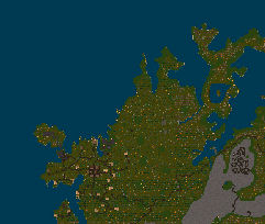
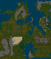
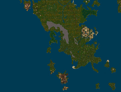
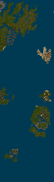
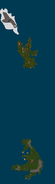
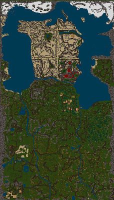
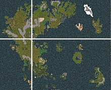
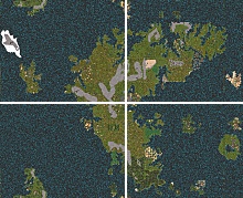
The Kingdom of Lord British is the most prominent in the land, consisting of 12 cities. Lord Britishes Kingdom is in fact so widespread that the entire planet is referred to now as Britannia. Independant cities include: Wind, Ocllo, Nu'Jlem, and Buccaneer's Den. Britannia's gravity holds 2 moons, Felucca and Trammel. Both moons are barren, much like Earth's moon. The positions of Felucca and Trammel determine the destination order of the 8 moongates spread throughout the lands. Britannia orbits a single yellow sun, also similar to Earth. There are other bodies in Britannia's solar system, but the exact number and nature of these bodies remains undetermined. The World of Britannia itself is like Earth in many ways, however there is one major exception which is important to note. Britannia is not spherical, Britannia is Rectangular. You can sail off any corner or side of Britannia and end up on the other side only because Britannia creates the illusion of a 3 dimensional world. Try sailing off the northernmost edge of Britannia, and you'll end up in the southern seas. For roleplay purposes, Britannia is intended to be a sphere, and so it should be treated as such. Navigation in Britannia is done similarly to that on earth.. via Longitude and Latitude. On Earth, sailors could find their way on the seas by determining both of these, thus pinpointing their position. First, lets talk about Latitude. Latitude is the distance in degrees from the equator (those are the parallel horizontal lines on most maps). On Earth there are 180 degrees of Latitude: 90 degrees north of the equator and 90 degrees south of the equator. Each of these degrees if further divided into 60 minutes. Getting back to our sailors, they used a device called a sextant to determine their latitude on the map, and so they knew how far from the equator they were. Now onto Longitude. Longitude is defined as the distance in degrees from the Prime Meridian (The Prime Meridian is an imaginary line that extends from the north pole, through Greenwich England, and straight down to the south pole). Our sailors used clocks and mathematics to determine their Longitudes. Luckily for you, a Britannian Sextant will tell you your Longitude as well as your Latitude. Degrees of longitude are also divided into 60 smaller units called minutes. Alright, now that we've discussed how Latitude and Longitude work on earth, lets discuss how they work in Britannia. First off, for Britannia to even start to have Latitude and Longitude Its got to have an Equator and a Prime Meridian. For whatever reason, someone decided that Lord British's throne should be the intersection of these two lines, and thus the Prime Meridian extends north and south from his throne, and the Equator extends east and west. So far this has been pretty simple.. but here's the really odd part: Lord British's throne is nowhere near the center of the map of Britannia! This wouldn't be so bad if the Latitudes and Longitudes were altered to reflect the land accurately, but theyre not.. theres an equal number of North, South, East and West degrees, which puts some places with north coordinates in the far south, and some places with west coordinates in the far east.
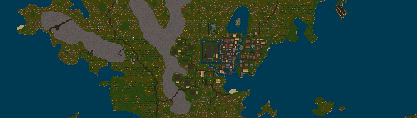
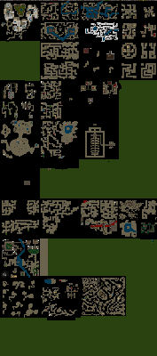
With all that being said, Latitude and Longitude are not the only way to navigate the globe. The other method of navigation is to use the Tile Coordinate system. All of Britannia is composed of building blocks called tiles. Every character on UO stands on exactly one tile, so as you can see a tile is a pretty small area. Each tile has its own location number derived by its Z Y and Z coordinates. They are numbered sequentially from left to right and from top to bottom. So the most northwestern tile on the map is (0,0), and the most southeastern tile is (6143, 4095). The last coordinate, Z denotes the height of the tile. The Z coordinate is of no use to you. It is mainly used by the plethora of robed volunteers, who use this navigation system exclusively. Now that you've got the basics of Britannian Geography, you should download the UO Automap Program. This little tool is invaluable, and its got all sorts of features to suit your navigation fancy! The UO Automap Website will tell you all the features in detail. |